The Role of Airborne LiDAR in Measuring Forest Carbon Stocks
Science

As we navigate the challenge of climate change, getting accurate and precise measurements of forest carbon stocks is becoming more critical than ever. Many efforts, methodologies, and technologies are being used to achieve this. One of the most revolutionary tools in this field is Airborne LiDAR, an advanced remote sensing technology. LiDAR’s ability to penetrate forest canopies and produce detailed 3D data provides a deeper understanding of forest structure and biomass.
What is LiDAR?
LiDAR (Light Detection and Ranging) is a remote sensing technology that uses laser pulses to measure distances to objects or surfaces. What makes LiDAR unique in vegetation studies is its ability to penetrate canopy gaps and measure the structural elevation of both the canopy and the terrain beneath it (Dong & Chen, 2018). By sending out thousands of laser pulses per second and recording the time it takes for the light to bounce back, LiDAR creates highly accurate 3D maps of the earth's surface. This data can be used to calculate important parameters like tree height, canopy density, and other vegetation structures.
How is LiDAR Used to Calculate Forest Carbon Stocks?
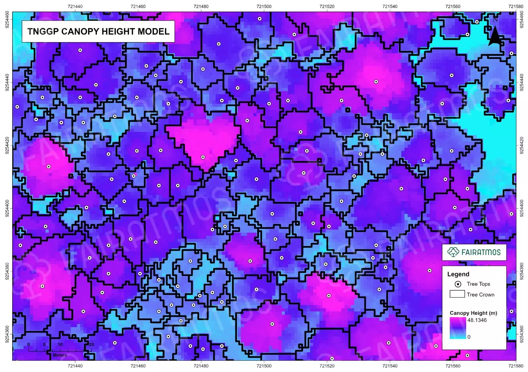
Data obtained from airborne LiDAR surveys can be processed to create Digital Elevation Models (DEM), including Digital Terrain Models (DTM) and Digital Surface Models (DSM). These elevation models are used to calculate canopy height models (CHM), which are key parameters in biomass estimation.
Using specific calibrated algorithms, LiDAR data can be correlated with field biomass data to build biomass estimation models. Before modeling, this data can also be visualized per tree using Individual Tree Segmentation, showing how LiDAR can visualize each tree individually. This model can then be applied to the entire survey area to produce biomass distribution maps, which can be used to estimate carbon stocks in that area.
Advantages of LiDAR
-
Efficiency: LiDAR allows for large-scale data collection in a short time compared to traditional, labor-intensive field surveys.
-
Accuracy: LiDAR data is highly accurate, especially in measuring forest structural parameters like tree height and canopy density.
-
Detailed Analysis: LiDAR produces detailed 3D data, enabling in-depth analysis of vegetation structure and the spatial variability of biomass or carbon stocks.
LiDAR Application at Fairatmos
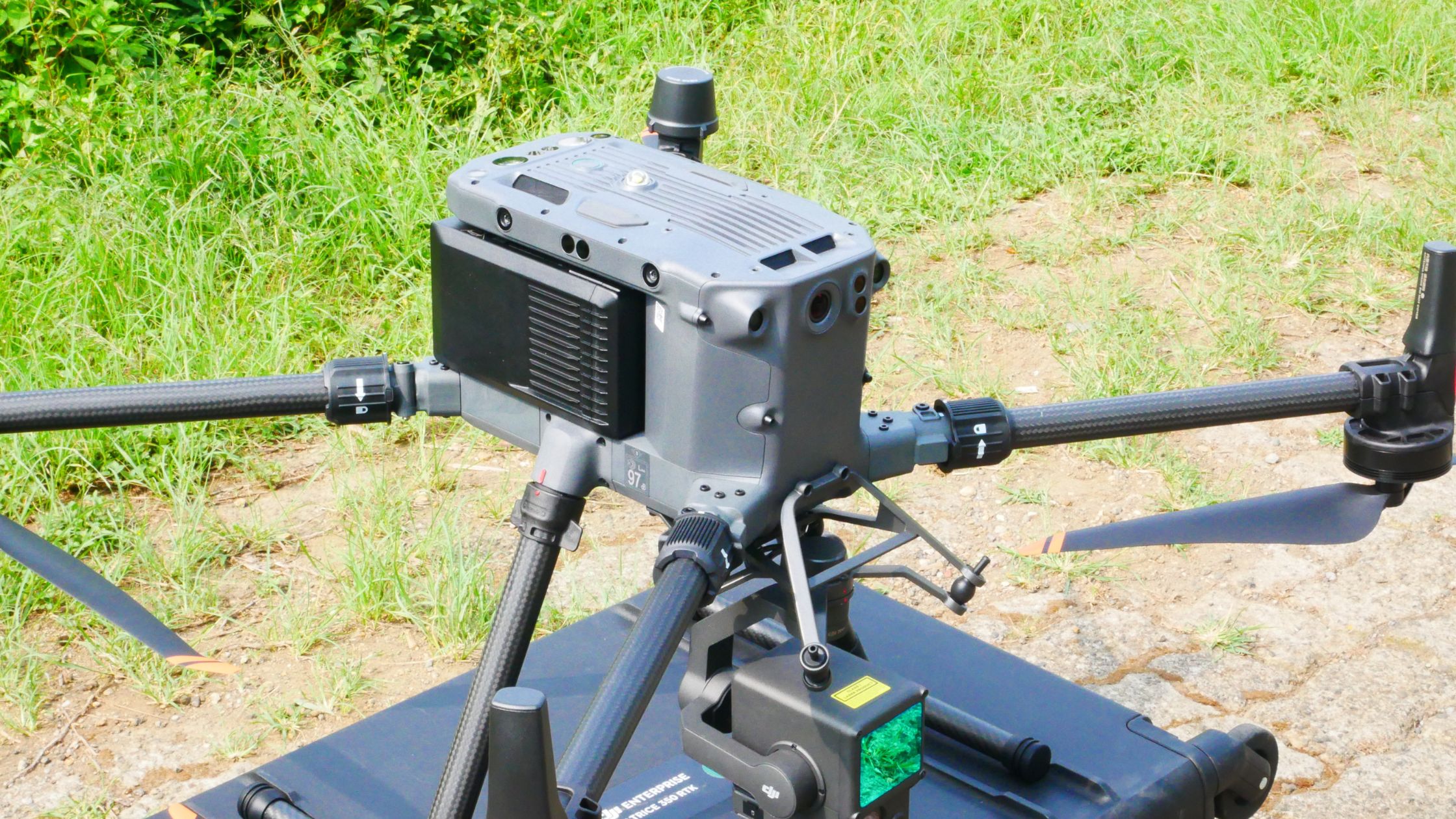
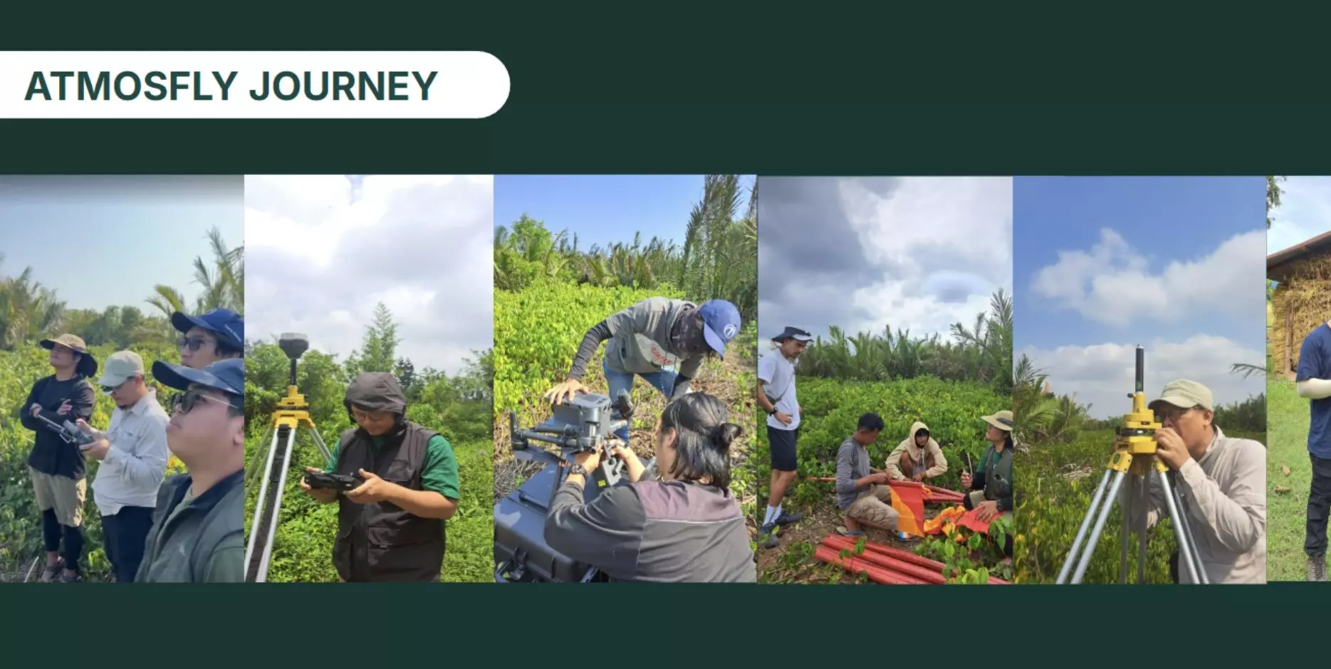
At Fairatmos, we utilize Airborne LiDAR technology to map and measure carbon stocks in various forest ecosystems, including dryland forests, mangroves, and peatlands. Using the DJI Mavic 350 RTK drone equipped with the DJI Zenmuse L1 LiDAR module, our Remote Sensing Team has successfully modeled Above Ground Biomass and Carbon Stock in several project areas, such as:
-
Mangrove Cilacap Ujung Alang, Central Java
-
Parts of TNGGP (Mount Gede Pangrango National Park), West Java
-
Sei Tubu, Malinau, North Kalimantan
-
Nunukan, North Kalimantan

Canopy Height Model
 LiDAR Point Clouds 3D Overview
Airborne LiDAR has opened new avenues for forest monitoring and management. With its ability to generate accurate and comprehensive real-time data, LiDAR significantly contributes to climate change mitigation efforts. At Fairatmos, we are committed to continually developing and applying LiDAR technology to support sustainable forest management.

AtmosFly Team of Fairatmos
References: Dong, P. & Chen, Q., 2018. LiDAR Remote Sensing and Applications. CRC Press, Boca Raton.
About Fairatmos
Fairatmos is a climate technology company that helps you to discover, develop and deliver high quality carbon offset projects at scale. We believe in the power of nature to heal and remove greenhouse gasses from our atmosphere with the help of technology.
Our technology leverages remote sensing and satellite images to help communities and companies to discover their forest carbon credit potential, converting them from logging the forest to preserving and rehabilitating the forest confidently.
With high precision monitoring technology, we help to track carbon project performance and integrity, ensuring the social impact and biodiversity preservation. With confidence in integrity, we connect carbon offsetting companies to quality projects.
Today we have worked with more than 200 asset owners, processing more than 18M hectares of forest carbon potential across South East Asia to deliver the promise of inclusivity.
climate change, sustainable, carbon credit, carbon offset, blue carbon, buy carbon offsets, offset carbon footprint, carbon offset programs, carbon project, nature-based solutions, carbon neutral, buy carbon credits, carbon trading, global warming, sdg, climate action

